Montreal LiDAR: view and extract elevation data


Equator makes Montreal LiDAR more accessible than ever before
Find out why professionals are turning to Equator to unlock the best data and insights. Equator users include:
- Planners
- Architects
- Civil Engineers
- Flood Analysts
- Construction Professionals
- Landscape Designers
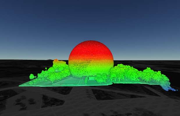
Go beyond the point cloud
Using Equator, plus built-in elevation data, anyone can:
- View 3D surfaces
- Generate contours
- View LiDAR point clouds on a map
- Cut cross-sections in a few clicks
- Extract elevation data
- Create markups, labels, and figures
- Share data with others online


Can I extract contours?
Yes! Contours can be extracted from Equator at the resolution you need. Contours can be exported to a variety of formats including shapefile (.shp) and drawing (.dxf). In addition, digital elevation models (DEMs) are also available.


How do I bring contours into Civil 3D?
Contours can be opened in AutoDesk Civil3D (or similar) simply by opening an dxf file or shapefile exported from Equator. This tutorial explains how to create a 3D surface in Civil 3D directly from a shapefile.
How do I get started using LiDAR in Equator?
Check out the video below to learn more and start viewing and exporting data right now.
The post Montreal LiDAR: view and extract elevation data appeared first on Equator .
Full content in Equator Studios

