Our mission at Equator is this: We want to elevate the work of our fellow infrastructure designers by providing them with unprecedented access to the world’s data.
We believe that equal access to earth insights means better outcomes for everyone. And that starts with reimagining the way that we work.
Our story begins with a very relatable problem. Reliable topographic data is too hard to find online.
Our founders were working in the civil engineering industry. While performing a drainage study, one of them had her work grind to a halt when she found it was nearly impossible to get her hands on the topographic data she needed.
After waiting weeks for answers and project delays, she thought there must be a better way.
It turns out there was a simple explanation. While infrastructure to easily find and share, high-resolution elevation data simply didn’t exist online.
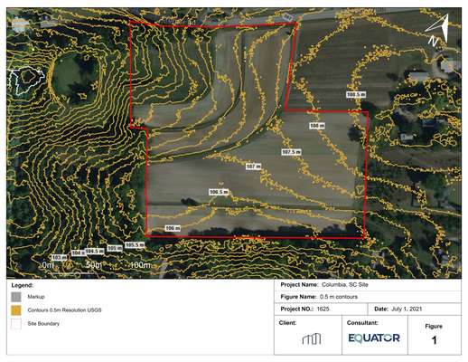
Even though high-resolution elevation data, like LiDAR point clouds, have become extremely accurate and available in abundance, no one had (yet) found a way to make this information easily accessible to those who need it to do their jobs.
So, Equator was founded to fix the problem. By compiling the largest library of public LiDAR point cloud data on the planet, making it available through a central search engine, and creating purpose-built design tools, we’re able to give all infrastructure designers instant access to the answers they need to shape a better built world.
