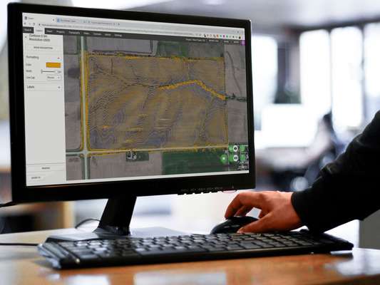
Florida Topographic Map: Base Plan Generator for CAD
Instant base plans from the Florida topographic map
Find, export, and share Florida topographic data faster than ever before!

1ft Contours
Create 1ft contours or any other interval. Equator is flexible to the needs of your project.
Export to CAD
View Online First
Preview contours online generated from the Florida Topographic Map.
Data Quality Report
Custom Area Selector
You define the export area, in any shape. Simply draw a polygon around your site.
Share with Others
One-click sharing of Florida contours online with others.
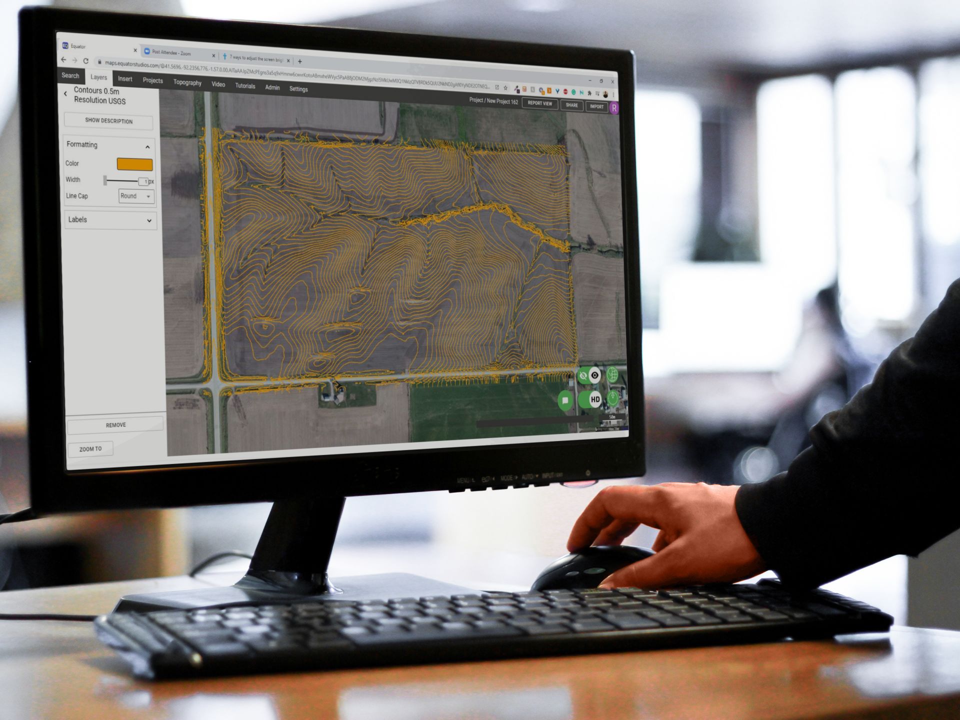
Golf course base plans created in minutes
See for yourself why civil engineers, planners, and designers use Equator to create base plans for golf course design faster than ever before. The Florida topographic map can be used to export contours directly into a CAD format. Give Equator a try today and start extracting topographic data for free.
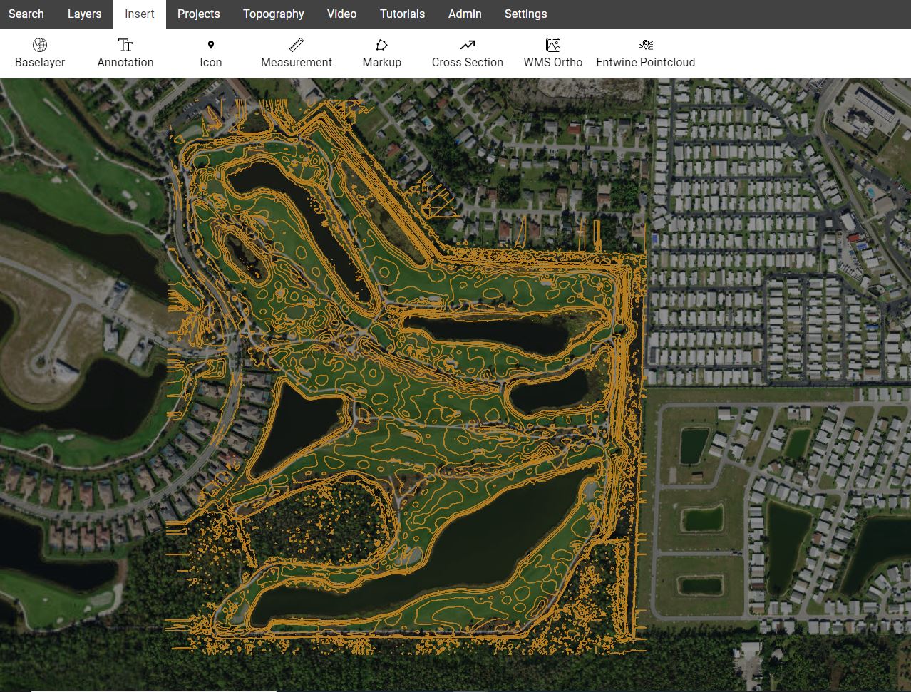
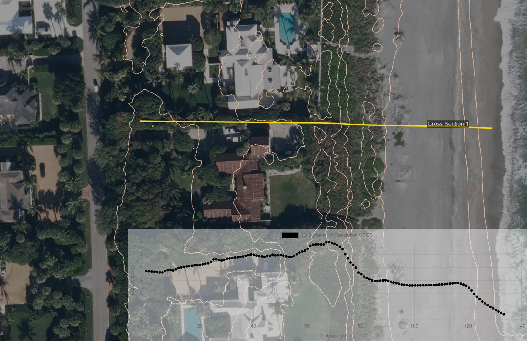
Rapid assessment of flood hazard areas
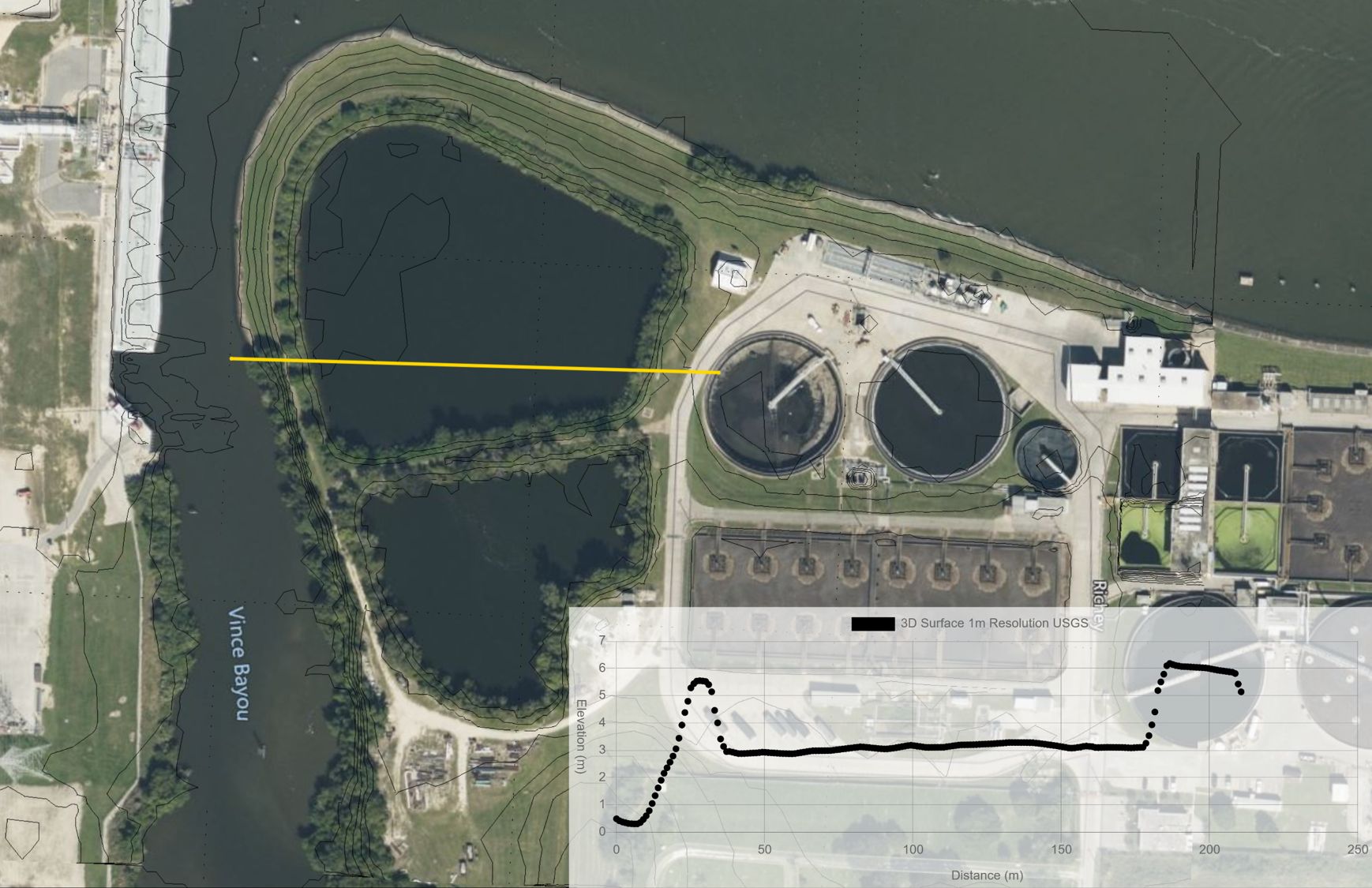
Flood experts are using the Florida Topographic map in Equator to quickly view and extract elevation data. Cross sections can be generated from the topography in Equator, or exported for use in other CAD software. Start viewing best available topographic data for Florida today.
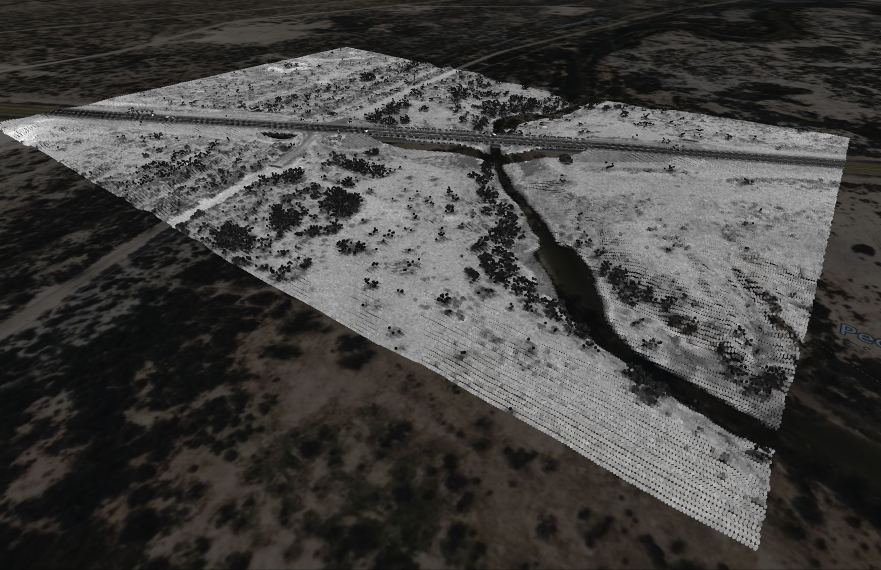
Where does the data come from?
The United States Geological Survey (USGS) , specifically their 3D Elevation Program (3DEP) manages the nations public LiDAR dataset. You can read more about the 3DEP here . In general, the built-in point clouds are sourced from a library of airborne LiDAR surveys that are managed by the USGS, and connected to Equator for ease of access.
How accurate is the map?
Most of the LiDAR data that you will find in Equator is derived from Quality Level 0, 1, 2 or 3 LiDAR.
Locations
| Alachua County |
| Baker County |
| Bay County |
| Bradford County |
| Brevard County |
| Broward County |
| Calhoun County |
| Charlotte County |
| Citrus County |
| Clay County |
| Collier County |
| Columbia County |
| DeSoto County |
| Dixie County |
| Duval County |
| Escambia County |
| Flagler County |
| Franklin County |
| Gadsden County |
| Gilchrist County |
| Glades County |
| Gulf County |
| Hamilton County |
| Hardee County |
| Hendry County |
| Hernando County |
| Highlands County |
| Hillsborough County |
| Holmes County |
| Indian River County |
| Jackson County |
| Jefferson County |
| Lafayette County |
| Lake County |
| Lee County |
| Leon County |
| Levy County |
| Liberty County |
| Madison County |
| Manatee County |
| Marion County |
| Martin County |
| Miami-Dade County |
| Monroe County |
| Nassau County |
| Okaloosa County |
| Okeechobee County |
| Orange County |
| Osceola County |
| Palm Beach County |
| Pasco County |
| Pinellas County |
| Polk County |
| Putnam County |
| Santa Rosa County |
| Sarasota County |
| Seminole County |
| St. Johns County |
| St. Lucie County |
| Sumter County |
| Suwannee County |
| Taylor County |
| Union County |
| Volusia County |
| Wakulla County |
| Walton County |
| Washington County |
The post Florida Topographic Map: Base Plan Generator for CAD appeared first on Equator .
Full content in Equator Studios

