BC Open Infrastructure Data
BC Municipal Infrastructure Open Data Master List
This article contains a list of municipal open data portals in British Columbia, Canada. Each of the open data portals has been reviewed for data sets related to municipal infrastructure, including drainage, water, sanitary and transportation related map layers. If map layers were found in any of these categories, a check mark was provided to indicate data availability.
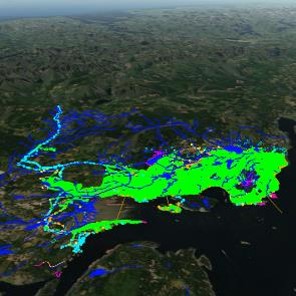
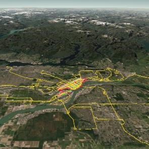
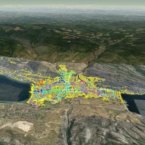
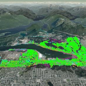
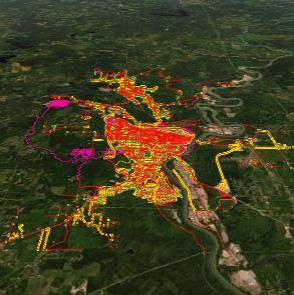
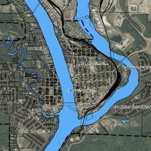
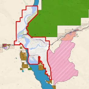
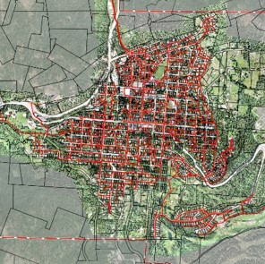
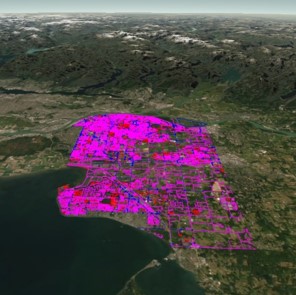
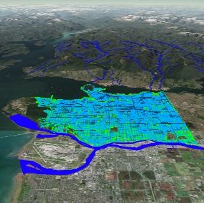
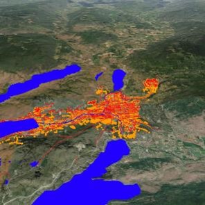
Data has been visualized in Equator on top of a 3D terrain surface where possible. These 3D maps can be viewed by clicking on “ View in 3D .”
While we have done our best to summarize the latest municipal infrastructure information available online in BC, this is a dynamic list that is updated regularly. If you would like to submit a change or update to this list, please do so by emailing contact@mapleprecision.com.
| City | Link to Equator | Link to Open Data Portal | Drainage | Water | Sanitary | Transportation | Image |
|---|---|---|---|---|---|---|---|
| Abbotsford | View in 3D | City of Abbotsford’s Open Data Hub |  |  |  |  |  |
| Armstrong | – | Armstrong Maps |  | 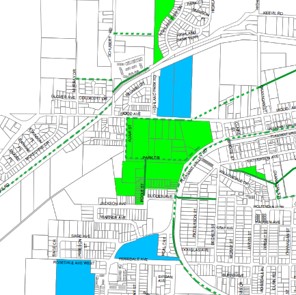 | |||
| Burnaby | View in 3D | Burnaby’s Open Data Portal |  |  |  |  | 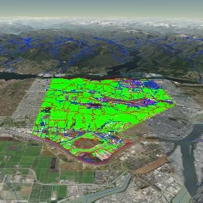 |
| Campbell River | – |  | 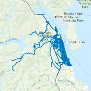 | ||||
| Castlegar | – | CastleMap GIS Viewer |  |  |  |  |  |
| Chilliwack | View in 3D | Open Data Catalogue |  |  |  |  | 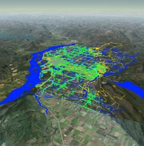 |
| Colwood | – | Official Community Plan Maps |  | 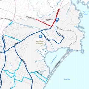 | |||
| Coquitlam | – | QtheMap |  |  |  |  | 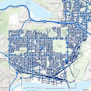 |
| Courtenay | View in 3D | City of Courtenay Open Data Catalogue |  |  |  |  | 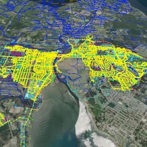 |
| Cranbrook | – | Cranbrook City Viewer |  |  |  |  | 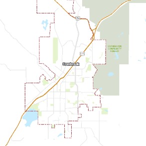 |
| Dawson Creek | – | Dawson Creek Map |  |  |  |  | 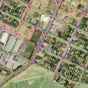 |
| Delta | View in 3D | Delta’s Open Data Catalogue |  |  |  |  | 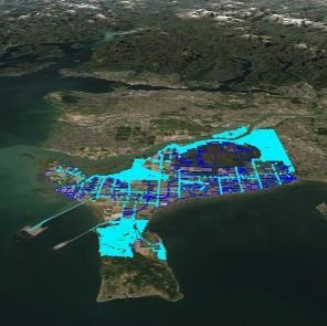 |
| Duncan | – | City Maps |  |  |  | ||
| Enderby | – | Enderby Maps |  |  | |||
| Fernie | – | Fernie Maps |  | 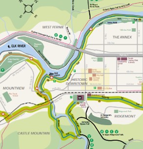 | |||
| Fort St. John | – | Fort St. John Maps |  |  |  | 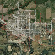 | |
| Grand Forks | – | Coming soon | |||||
| Greenwood | – | Coming soon | |||||
| Kamloops | View in 3D | City of Kamloops Open Data Catalog |  |  |  |  | 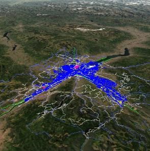 |
| Kelowna | View in 3D | Open Kelowna |  |  |  |  | 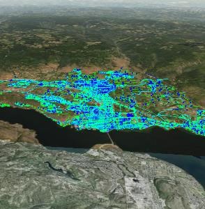 |
| Kimberley | – | Kimberley Maps |  | 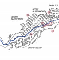 | |||
| Langford | – | Langford Maps |  |  | |||
| Langley | View in 3D | Township of Langley Open Data |  |  |  |  | 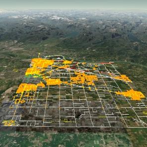 |
| Maple Ridge | View in 3D | Maple Ridge Open Data Portal |  |  |  |  | 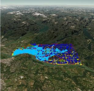 |
| City | Link to Equator | Link to Open Data Portal | Drainage | Water | Sanitary | Transportation | Image |
|---|---|---|---|---|---|---|---|
| Victoria | View in 3D | Open Data Portal City of Victoria |  |  |  |  | 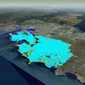 |
| West Kelowna | View in 3D | City of West Kelowna Open Data |  |  |  |  | 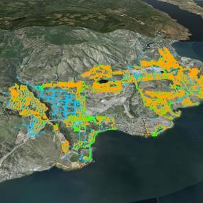 |
| White Rock | Coming Soon | Open Data Portal of the City of White Rock |  |  |  |  | 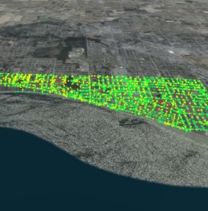 |
| Williams Lake | – | Coming soon |
The post BC Open Infrastructure Data appeared first on Equator .
Full content in Equator Studios

