Custom 3D Wood Maps
CNC Topographic Map Generator
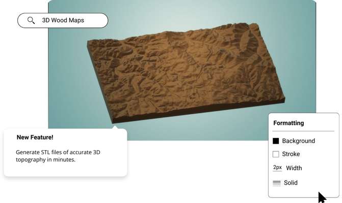
Create custom 3D wood maps from the most accurate elevation data online using Equator. Download map files in minutes.
Join other leading designers on Equator.

Make a custom wood map in Equator
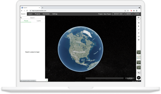
- Navigate to your location of interest
- Search through high-res and low-res topographic data sets
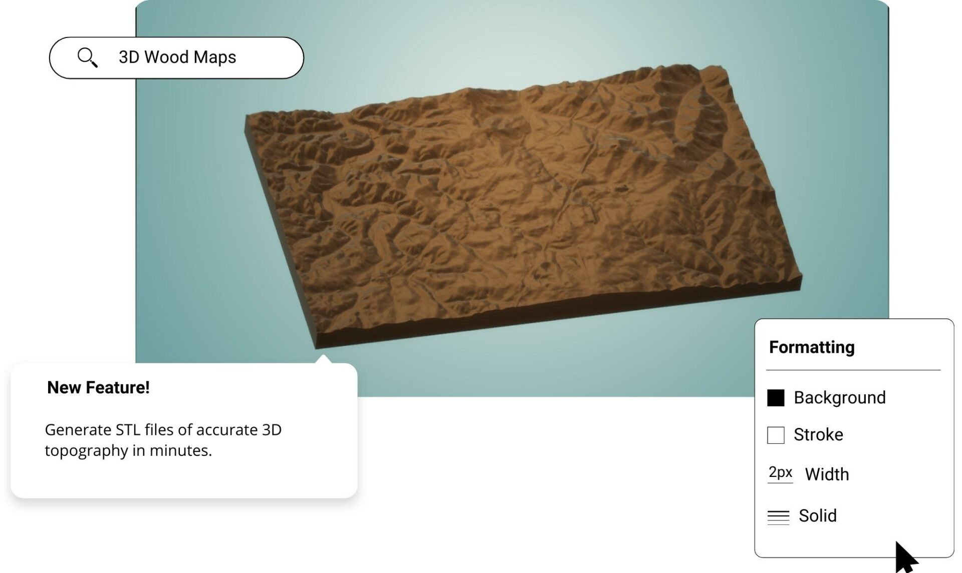
- Generate an STL file of the topography for your custom 3D wood map
- Download your 3D topographic map file
Design and create your custom 3D wood map!
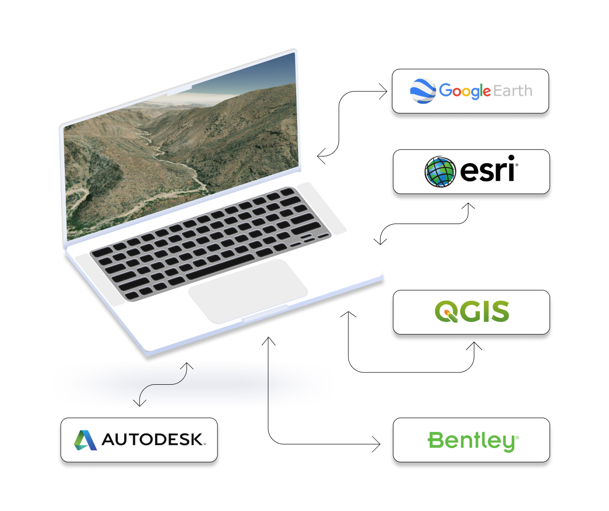
Integrate your map with other software
We’ve made it easy to integrate into your current workflow to get you up and running without friction.
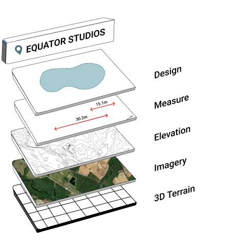
Equator supports popular GIS and CAD data formats, so map layers like LiDAR can be easily exported to Civil 3D, ArcGIS, Google Earth, or other platforms.
How to Get Started
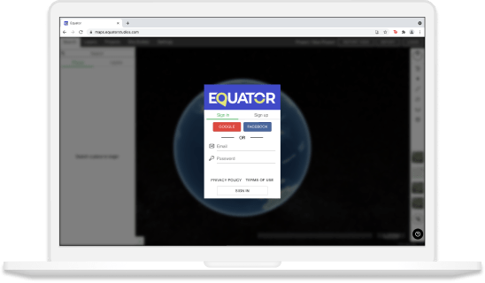
Step 2
Create an account by signing up with your favorite email address.
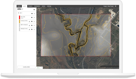
Step 3
Use the built-in search engine and design tools to find elevation data and build your map.
Frequently Asked Questions
A wood map is exactly what it sounds like – a map made out of wood. They are carved from sheets of plywood using a laser cutter and can be customized with any design or information you want. Wood maps make great gifts for anyone who loves geography or travel, and they also make unique wall art pieces.
A wood map can be used for a variety of purposes, including decorating your home or office, as a gift, or as a way to mark your favorite outdoor spot.
If you’re an engineer, you’re likely used to looking at maps that show scale in terms of distance or elevation. However, have you ever seen a wood map? Wood maps use the natural ridges and valleys of wood grain to represent topography. Unlike traditional maps, wood maps can be carved with great detail, showing even the smallest features of a landscape. Unlike traditional charts – which rely on paper or vellum – a wood map can be updated and amended as necessary. This also makes them an ideal choice for maritime navigation in areas where changes to the coastline or waterways are frequent.
First, the artist begins with the readings of what is known as a Bathymetric chart. Then, the dimensions and depth are translated and a shape is carved in accordance to these using a laser cutter. The geographical features are carved into pieces of wood and then a step involves assembling them all like a jigsaw puzzle.
The post Custom 3D Wood Maps appeared first on Equator .
Full content in Equator Studios

