South Texas LiDAR Acquisition Project (FEMA)
South Texas LiDAR Project
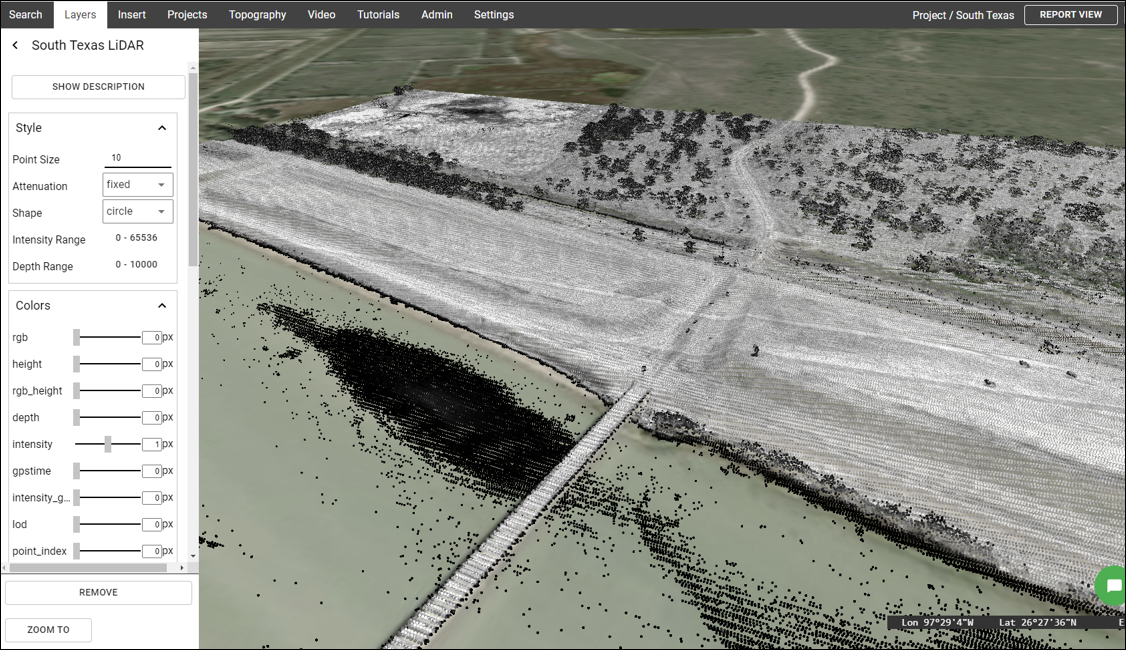
This page includes a summary of the South Texas FEMA LiDAR Acquisition project. To view or download LiDAR data in Equator right away, click on the button below.
What is the South Texas LiDAR Project?
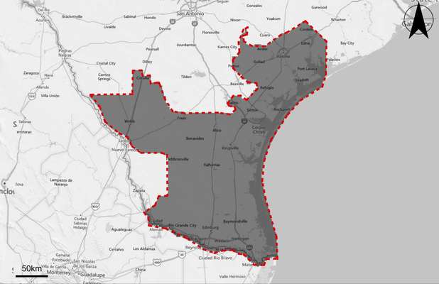
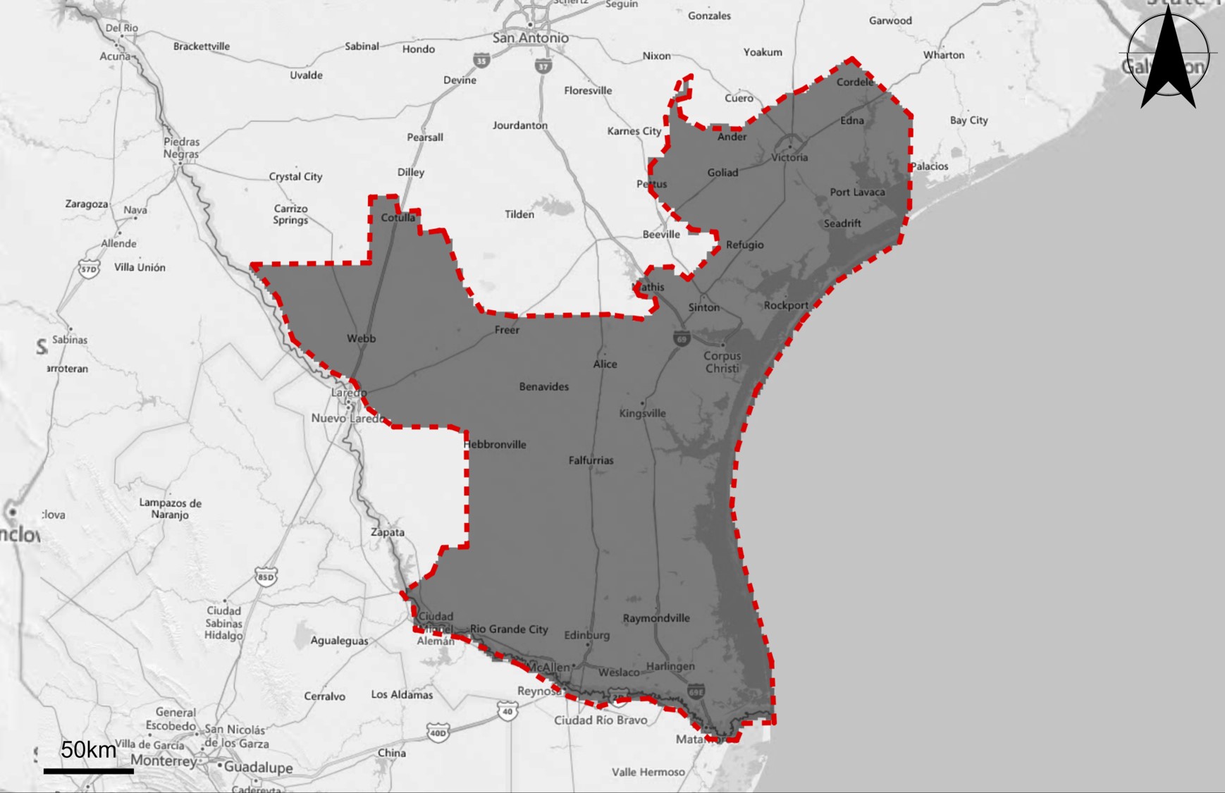
The South Texas LiDAR acquisition project was carried out between January 23, 2018 and February 23, 2019 for FEMA. The total size of the area surveyed includes 22,229 square miles.
How was the data collected?
Aerial topographic LiDAR was acquired by Quantum Spatial in 121 lifts. LiDAR sensors used include Leica ALS70, Leica ALS80, Optech Orion H300, Riegl VQ1560i, and Riegl LMS Q1560. Data was collected at an average point density of 2.5 pts / m2.
How accurate is the data?
The measured non-vegetated vertical accuracy (NVA) is 0.089 m or 3.5 inches. The vegetated vertical accuracy (VVA) is 0.283 m or 11.1 inches. Vertical accuracy is reported because it is generally less accurate than the horizontal measurement, and as a result, is the limiting factor for application of the data.
Which Texas Counties were covered in the LiDAR Survey?
The counties covered, or partially covered, as part of the South Texas LiDAR acquisition project include:
- Jackson
- Victoria
- Calhoun
- Goliad
- Refugio
- Aranas
- San Patricio
- Nueces
- Kleberg
- Jim Wells
- Duval
- Webb
- La Salle
- Kenedy
- Brooks
- Jim Hogg
- Starr
- Hidalgo
- Willacy
- Cameron

Which Major Cities / Towns were covered in the LiDAR Survey?
The major cities / towns covered, or partially covered, as part of the South Texas LiDAR acquisition project include:
- Cordele
- Edna
- Ander
- Goliad
- Port Lavaca
- Refugio
- Rockport
- Sinton
- Alice
- Kingsville
- Freer
- Benavides
- Cotulla
- Weeb
- Hebbronville
- Falfurrias
- Raymondville
- Rio Grande City
- Harlingen
- Edinburg
- McAllen
- Weslaco
What if this LiDAR doesn’t cover my project site?
Please visit the USGS Topographic Map page on the Equator website to learn more about LiDAR data coverage, and what is available in your area.
Why should I use Equator to access the South Texas LiDAR data?
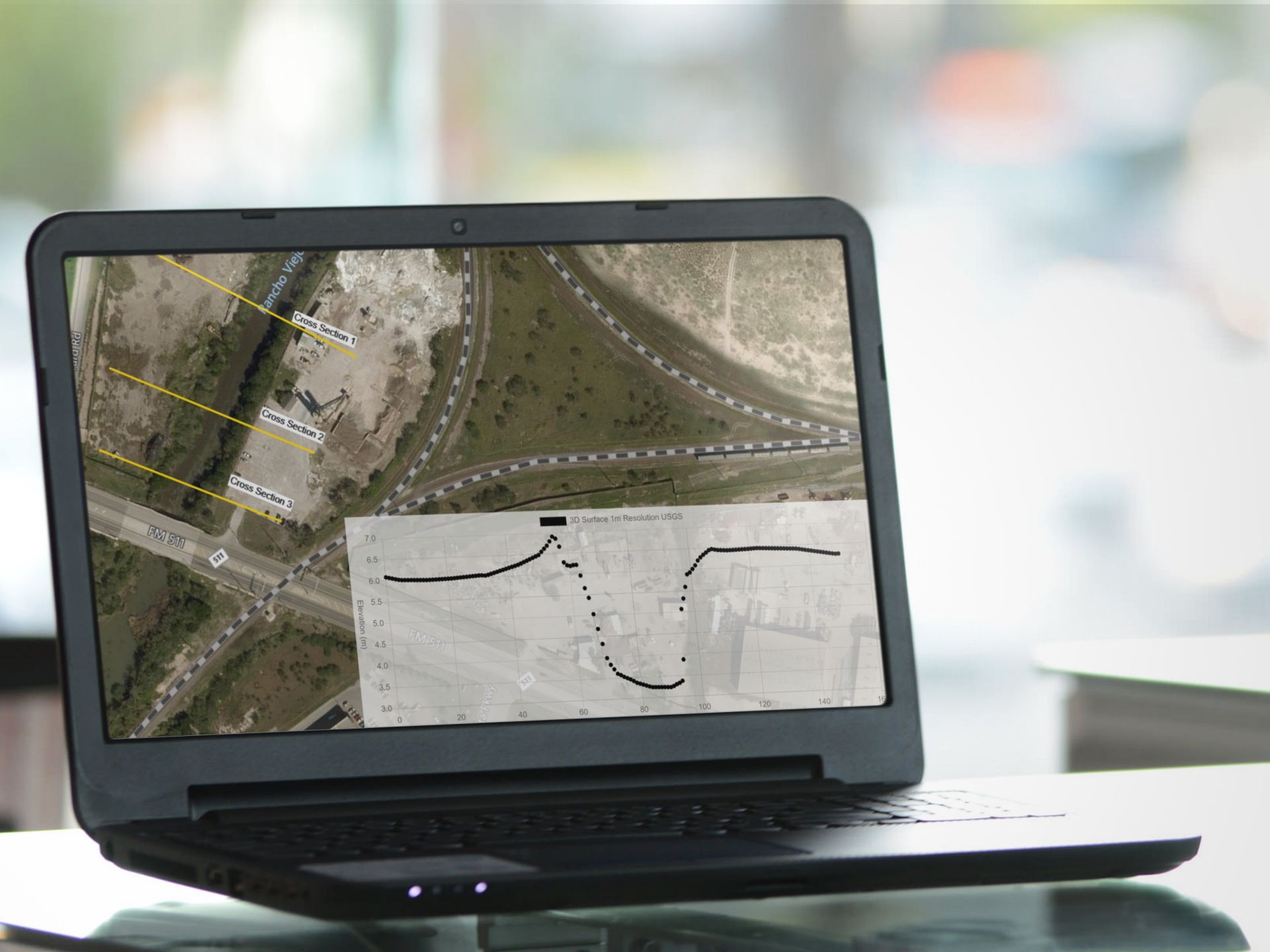
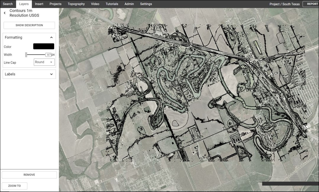
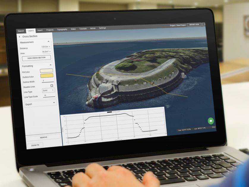
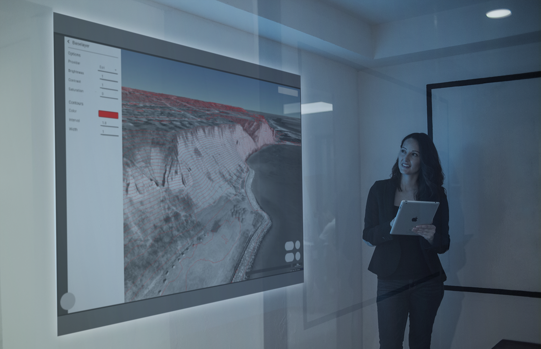
The old way of viewing topography online is low-resolution and time-consuming. Now you can stream USGS topographic data on the fly, in your browser, at the best available resolution.
Revolutionary 3D platform for viewing data
Most detailed 3D map online of the US, in one place
Easily extract the data you need
The post South Texas LiDAR Acquisition Project (FEMA) appeared first on Equator .
Full content in Equator Studios

