Equipment Required to Complete a Topographic Survey
What Equipment is Required to Complete a Topographic Survey?

A topographic survey involves collecting feature data for a plot of land, such as contours, elevations, and other physical characteristics. There are a variety of tools and equipment that are commonly used to complete a topographic survey, including:
- Total station: A total station is a surveying instrument that uses electronic distance measurement (EDM) to measure distances and angles between points on the ground. It can be used to measure the ground point elevation.
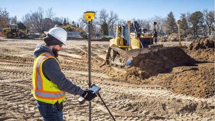
- GPS receiver : A GPS (Global Positioning System) receiver is a device that uses satellite signals to determine its location on the earth’s surface. It can be used to accurately locate points on the ground for a topographic survey.
- Laser rangefinder : A laser rangefinder is a device that uses a laser beam to measure the distance between the rangefinder and an object. It can be used to measure the elevations of points on the ground in a topographic survey.
- Level : A level is a surveying instrument that is used to determine the elevation of points on the ground. It consists of a telescope mounted on a tripod and is used to take precise measurements of the height of points on the ground.
- Tripod : A tripod is a three-legged stand that is used to hold surveying instruments such as total stations, GPS receivers, and levels. It is used to keep the instrument steady and level when taking measurements.
Try Equator
Bad weather? Don’t have access to a total station? Delay in land access permits? Check out your sites topographic data on Equator.
The post Equipment Required to Complete a Topographic Survey appeared first on Equator .
Full content in Equator Studios