Contour Map Online

Online Contour Map Creator
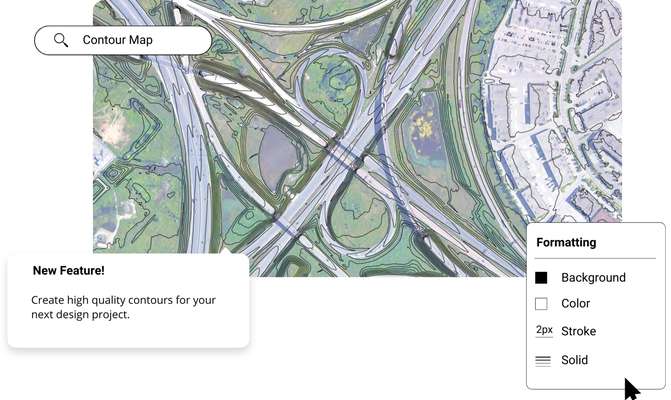
Create contour maps and figures in minutes using the best elevation data online, in the Equator platform. Share contour maps with others instantly.
Join other leading designers on Equator.


Create a contour map in Equator
- Navigate to your location of interest
Add contours, LiDAR, or hillshades to your site
Add markups, icons and measurements to your contour map
Take detailed measurements of the site
Share your contour maps with others online or in print


Integrate your map with other software
We’ve made it easy to integrate into your current workflow to get you up and running without friction.
Equator supports popular GIS and CAD data formats, so map layers like LiDAR can be easily exported to Civil 3D, ArcGIS, Google Earth, or other platforms.
How to Get Started

Step 2
Create an account by signing up with your favorite email address.

Step 3
Use the built-in search engine and design tools to find elevation data and build your map.
Frequently Asked Questions
A contour is simply a line that connects points of equal elevation on a map or diagram. So, when you’re looking at a topographic map, for example, all of the little hills and valleys will be represented by these lines. Contours can be really helpful when trying to understand the landscape around you, especially if you’re trying to plan a hike or bike route. They can also be used in engineering projects to help with things like drainage and erosion prevention.
If you’ve ever glanced at a map, chances are you’ve come across some contour lines. They often find themselves featured in engineer drawings and maps due to the crucial role they play in representing the elevation of a particular region. This information is not only used by engineers but also by scientists and the like.
Contour lines are commonly employed by surveyors and engineers. However, they are also used extensively in GIS mapping and in terrain modeling. The common people may use them to plan hikes or bike rides whilst scientists use them to study the elevation of a particular region over time. There is no shortage of people who uses contour lines as there is no shortage of people who require elevation data.
We have an excellent video tutorial here in Equator that outlines the process of generating contour lines and other products in Equator!
The post Contour Map Online appeared first on Equator .
Full content in Equator Studios