How to Import Your Point Cloud into InfraWorks
Tutorial: Import LiDAR Point Clouds into InfraWorks
In this tutorial, we will go over how to bring your LiDAR point cloud (.laz) into AutoDesk InfraWorks in a few easy steps.
InfraWorks is one of the few programs that allows you to import a .laz file (a compressed LiDAR point cloud file) into the program for analysis without converting it to an LAS file . If you already have an LAZ file from a surveyor, then jump ahead to Step 2. If you still need a LiDAR point cloud, learn how to download a point cloud from Equator in Step 1.

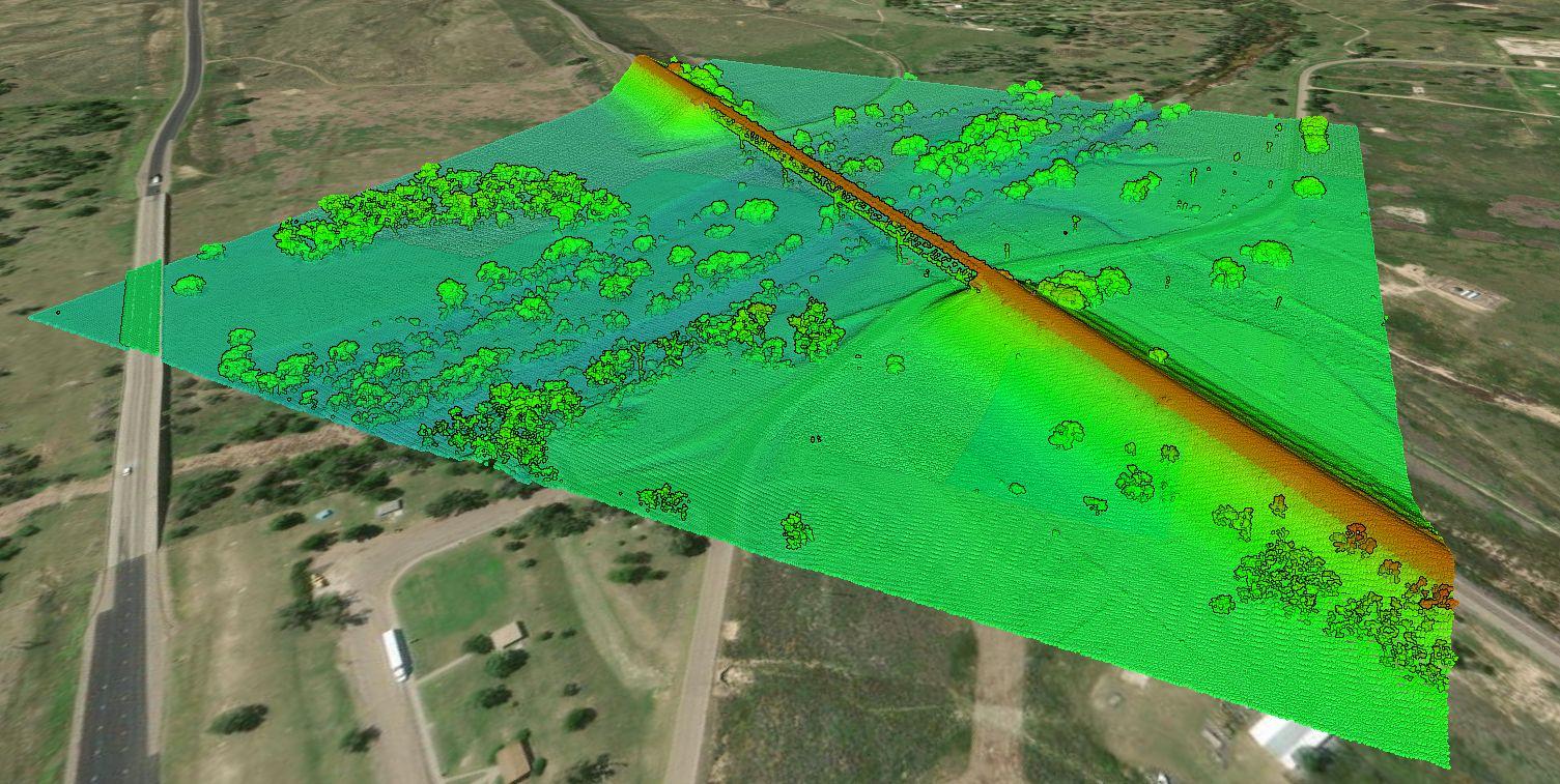
LiDAR Point Cloud
Step 1: Source Your Point Cloud
If you already have a LiDAR point cloud , go ahead and jump down to Step 2.
If you are looking for a LiDAR point cloud, use Equator to quickly and easily get topographic data. Just follow the steps below:
- Sign-in or create an account in Equator
- Search for your site location by using the search bar or zooming in
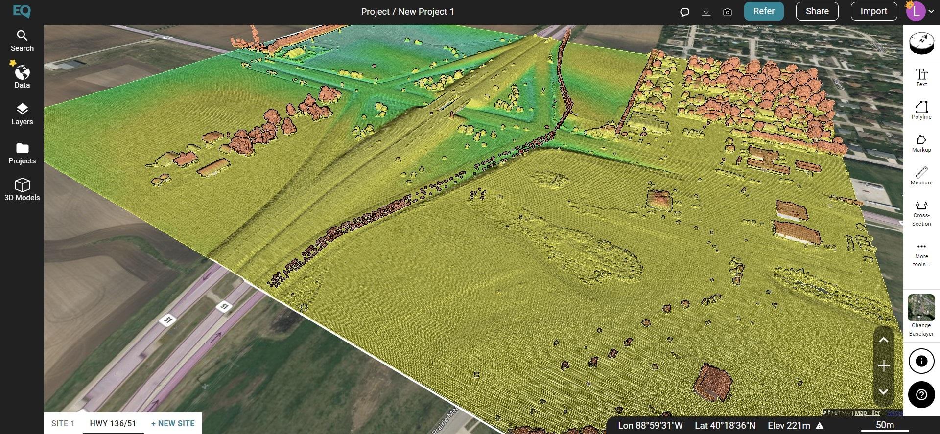
- Create a site boundary using the +NEW SITE button. Select from the default rectangle options or create your own boundary. Don’t forget to name your site!
- Under the Data tab, select Point Cloud . Choose your parameters and select Generate.
- Your point cloud is stored in the Layers tab under your site.
- To download , select the download button (down arrow). Choose your parameters and select ‘Process’.
- The .laz file of your site will appear in your Downloads folder (or whichever folder you have directed your downloads to go).

LiDAR Point Cloud in Equator
Step 2: Import Your Point Cloud into InfraWorks
- When you set up your InfraWorks file, make sure the coordinate system is correct and your Equator download and InfraWorks file have the same coordinate system.
- Once your new project is opened, select Manage > Content > Data Sources
- With the Data Sources Panel open, select Add File Data Source menu. Scroll down and select Point Cloud
- Navigate to the folder where files are stored and select the point cloud file. Change the file type to .laz and select your point cloud. Click open.
- Set your source and target coordinate system.
- The point cloud will be converted to an .rcp file. You can save this file in the same location as your .laz file or choose a new location.
Frequently Asked Questions
A LiDAR point cloud is a set of data points representing 3D shapes or objects in a physical 3D space. They contain the most reliable 3D data possible.
.las is a file extension used for the Lidar Data Exchange Format, and is the file format used to store point cloud data. It contains information about each point collected, including x, y, and z coordinates, the classification of the point and the projection.
.laz is a file extension used for compressed lidar data. It is based on the same Lidar Data Exchange Format (LAS) as .las files, but the data is compressed to reduce the file size which allows lidar data to be stored more efficiently and transferred more quickly.
InfraWorks supports .laz, .las, .rcs, and .rcp file types.
.rcp files are the project files that point to the spatially indexed point cloud, or .rcs file(s), and contain additional file information.
Nope! The 2021 release (and subsequent releases) of InfraWorks allows you to import a .las or .laz file without converting it in AutoDesk Recap first. The new versions will do the conversion for you.
Click the applications option button in the toolbar. Select point cloud and make any changes to the point size or density of the point cloud.
Looking for High-Resolution LiDAR Data?
Check out the thousands of datasets available in Equator
The post How to Import Your Point Cloud into InfraWorks appeared first on Equator .
Full content in Equator Studios


