Collaborative Mapping Software – Equator
Eliminate the need to send work back and forth to get the information you need…
Eliminate Back and Forth Handoffs
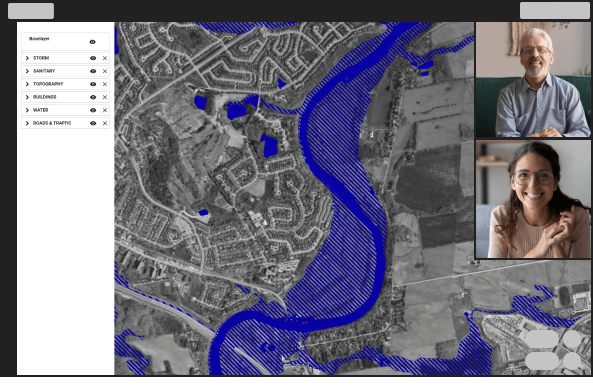
Sending work back and forth leads to slowdowns and inefficiencies. With Equator you can look at the work together on the same map surface to get instant feedback.
Collaborate in real time, see the changes that are being made, export the results.
Popular Features
Generate 3D Maps
Clip Shapefiles
Clip shapefiles online, to custom site bounds, in an easy to use platform.
View Parcels
Search through a massive open data library to see if parcels are available in your area.
View LiDAR
Download Imagery
Clip, snip and download imagery from online sources.
Share with Others
Share your maps with others online, in real-time to collaborate like never before
Present Your Work on a Live Map
Putting together a presentation with your data doesn’t have to be a multi-step process.
Present directly in Equator to gain greater insights faster. Impress your team with beautifully visualized data and accurate, high-quality data sets.

What will you make with Equator?
Click on your use case below to start building a custom deliverable right now.
The post Collaborative Mapping Software – Equator appeared first on Equator .
Full content in Equator Studios


