Viewing data in Equator
User Guide / Viewing data in Equator
Viewing data in Equator
This section is being updated. Please check back soon for new content. You may reach out for support at any time using the in-app chat feature or by contacting contact@equatorstudios.com
Guide
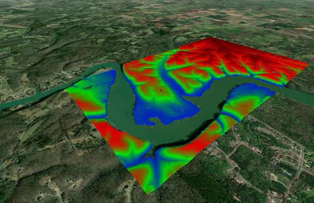
When viewing elevation data in Equator, we start with the lidar point cloud (the highest-resolution information), and turn it into what you need for your project. You have the option to view a 3D surface, contours or point cloud.
Step by step
This section is being updated. Please check back soon for new content. You may reach out for support at any time using the in-app chat feature or by contacting contact@equatorstudios.com

Sample of lidar point cloud in Equator

Sample of contours in Equator
The post Viewing data in Equator appeared first on Equator .
Full content in Equator Studios