Contour Map Creator
Contour Map Creator
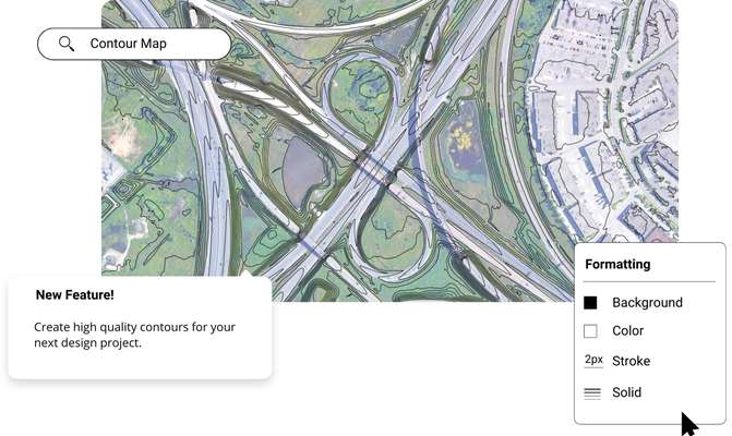
Use Equator’s contour map creator to get the best elevation data online in minutes. Use our collaboration feature to work on the map with others or share it once it’s done.

Join other leading designers on Equator


What is Equator?
Equator is an online contour map creator. The Equator app includes thousands of built-in datasets, with the ability to export contours , LiDAR , DEMs and more. With the easy-to-use map making tools, Equator is your one stop shop for all your mapping needs.
Create a contour map in Equator
- Navigate to your location of interest
Add contours, LiDAR, or hillshades to your site
Add markups, icons and measurements to your contour map
Take detailed measurements of the site
Share your contour maps with others online or in print


Integrate your map with other software
We’ve made it easy to integrate into your current workflow.
Equator supports popular GIS and CAD data formats, so map layers can be easily exported to Civil 3D, ArcGIS, Google Earth, and other platforms.
How to Get Started

Step 2
Create an account by signing up with your favorite email address.

Step 3
Use the built-in search engine and design tools to find elevation data and build your map.
The post Contour Map Creator appeared first on Equator .
Full content in Equator Studios

