Slope Map Generator
Slope Map Creator
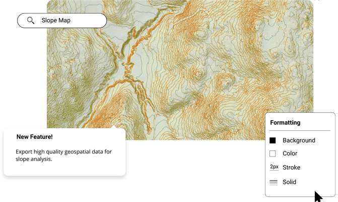
Create slope maps and figures in minutes using the best elevation data online, in the Equator platform. Share slope maps with others instantly.

Join other leading designers on Equator.


Create a slope map in Equator
- Navigate to your location of interest
Add contours, LiDAR, or hillshades to your site
Add markups, icons and measurements to your slope map
Take detailed measurements of the site
Share your slope maps with others online or in print


Integrate your map with other software
We’ve made it easy to integrate into your current workflow to get you up and running without friction.
Equator supports popular GIS and CAD data formats, so map layers like LiDAR can be easily exported to Civil 3D, ArcGIS, Google Earth, or other platforms.
How to Get Started

Step 2
Create an account by signing up with your favorite email address.

Step 3
Use the built-in search engine and design tools to find elevation data and build your map.
Frequently Asked Questions
A slope map is a two-dimensional representation of the gradient of a surface. It shows how steep or gentle a slope is at any given point. Slope maps can be used to identify potential hazards, plan construction projects, and more. They are also useful for students who want to learn more about geometry and calculus.
Part of the process is to measure the elevation of some points on the surface you want to map. Then, using a drawing program or mathematics software, you can plot these points on a graph and draw lines between them. The angle formed by these lines will give you your slopes. You can create a slope map right here using the Equator Site Builder feature!
A slope map is a useful tool that can be used to determine the steepness of a surface. This information can be helpful when planning construction or landscaping projects. By analyzing the data from a slope map, engineers and planners can make informed decisions about how to best use the land for their project. Students who are studying engineering will also find slope maps helpful in understanding how landscapes are formed.
Slope maps are often used by engineers and students to visualize the slope of a particular area. They can be used to plan construction projects, predict erosion, and understand drainage patterns. While most people associate slope maps with engineering, they can also be used for recreational purposes, such as finding the best places to ski or bike. Furthermore, they are used by architects, water managers, and scientists.
The post Slope Map Generator appeared first on Equator .
Full content in Equator Studios

