The Best Map Data Online | Equator
The Best Map Data Available Online
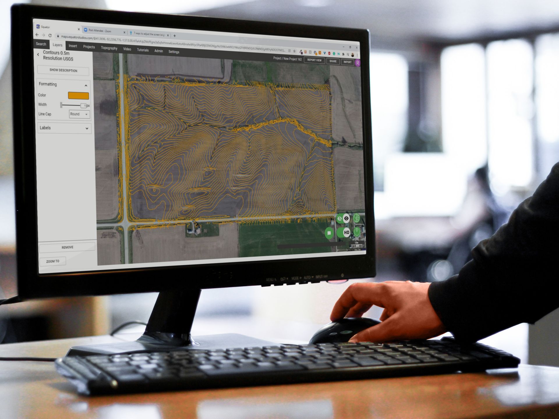
Equator has the best map data available online. Never before have you been able to extract such high quality data this easily through your browser.
Join other leading designers on Equator

No Need to Hire a Surveyor or GIS Expert
Save the time (and money) required to have a surveyor or GIS specialist collect and display your data. With Equator you can get the data instantly and view it in the browser.
Billions of points of data, hundreds of millions of hectares where data is available, all in one easy to use mapping platform.


One App, One Solution
Gone are the days where you need to use multiple pieces of software to bring a map together. Equator is the one-stop-shop for all of your mapping needs. Get the data you need, design and customize your map, and share it with others.
Stand Out Among the Competition
Using Equator data you will be able to make better proposals with more valuable insights. Engineers win more work when they use Equator.

How to Get Started

Step 2
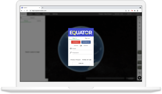
Create an account by signing up with your favorite email address.

Step 3
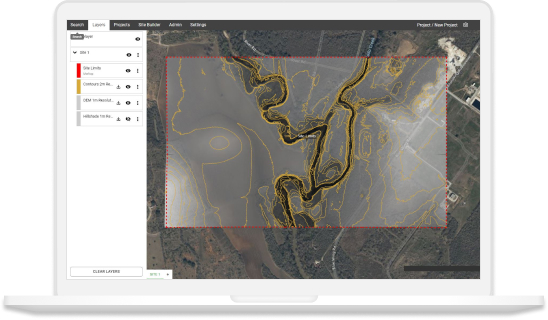
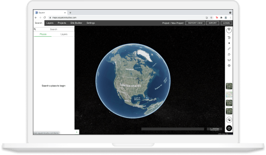
Use the built-in search engine and design tools to find elevation data and build your map.
The post The Best Map Data Online | Equator appeared first on Equator .
Full content in Equator Studios


